EMCI GeoPortal


EMCI’s Geoportal
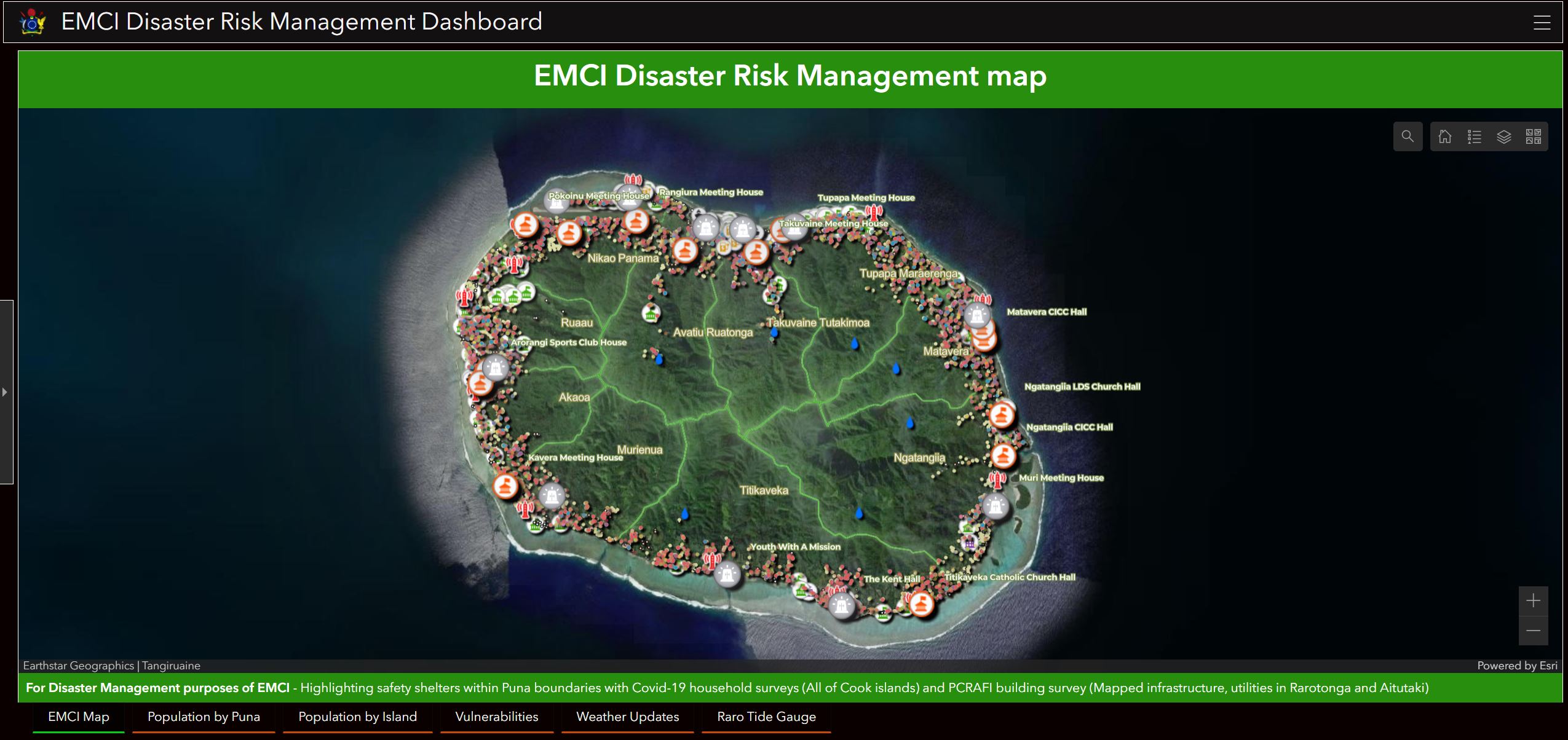
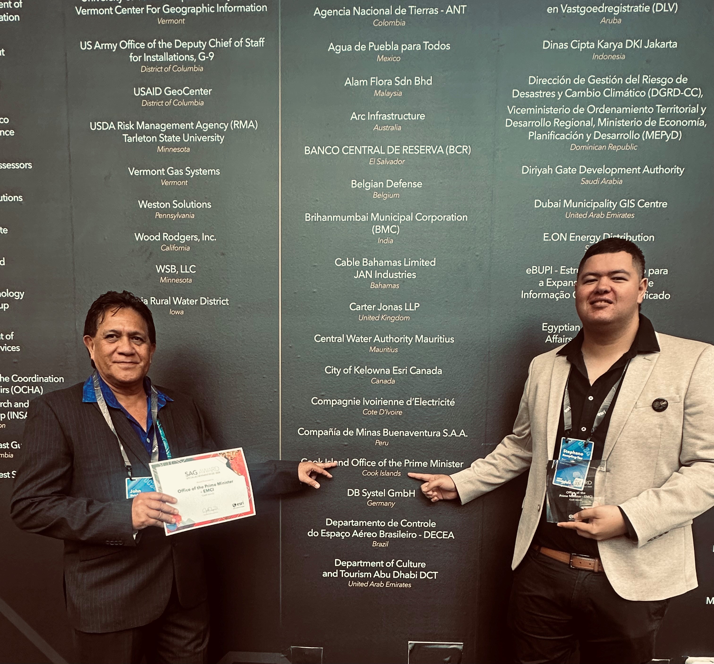
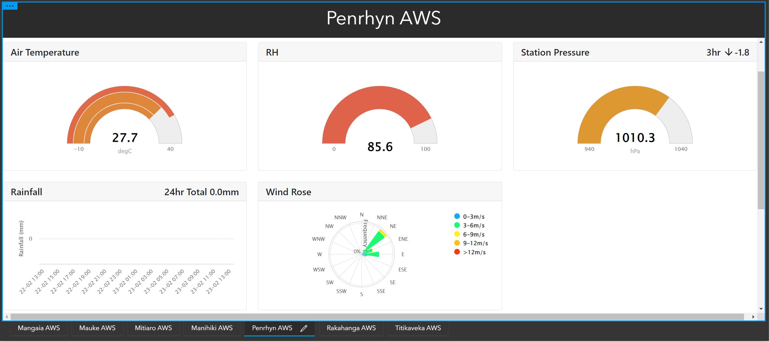
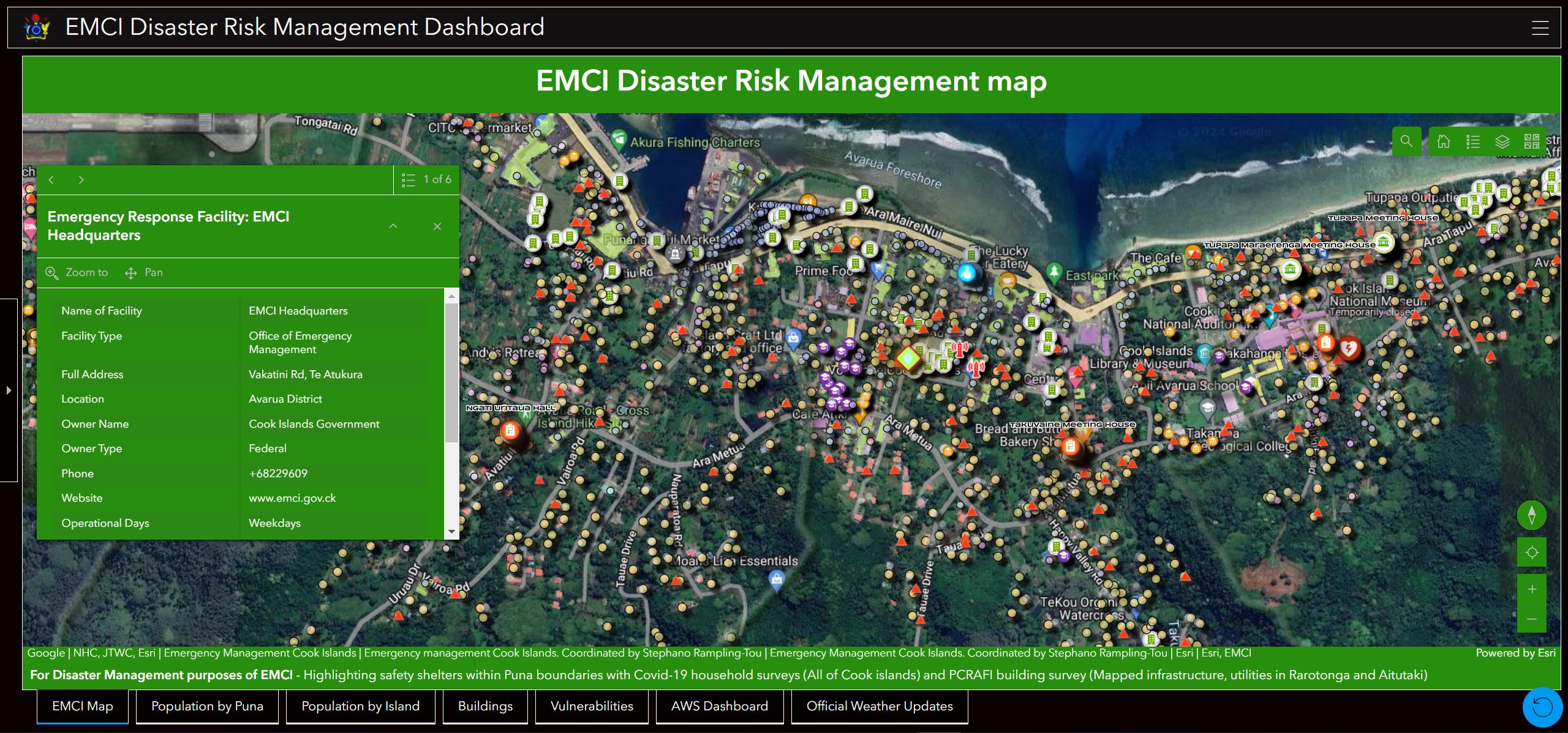
EMCI’s geoportal is an internationally award winning intelligence platform designed for the purpose of Disaster coordination. The Cook islands received a Special Achievement award in GIS at the world renowned ESRI user conference in San Diego, USA in 2024. Our platform is aimed at enhancing the capabilities of our local Emergency Operations Centres (EOCs) in preparing for and coordinating public responses to disaster risk management scenarios. Additionally, the tools sought to provide critical information to the Cook Islands National Disaster Council, facilitating accurate and efficient decision-making processes. This was achieved through the mapping of various data sets, including building information, vulnerabilities, population demographics, critical infrastructure locations, cyclone tracking maps, and weather information. By consolidating this data into a centralized platform, the tools aimed to empower stakeholders with the necessary insights to effectively mitigate and respond to potential disasters.
What is a geoportal?
A geoportal is a gateway to web-based geospatial resources, enabling you to discover, view, and access geospatial information and services made available by EMCI. Likewise, data providers can use the geoportal to make their geospatial resources discoverable, viewable, and accessible to others.
EMCI GIS Project Initiative
Led by EMCI, the geoportal was developed by the division as one of its most powerful tools for providing the general public with access to crucial data on the impacts of climate change in the Cook Islands.
The layers of geolocated information available in the portal are complemented over the years by the EMCI’s partner projects conducting Disaster Risk Management (DRM) surveys of households throughout the Cook Islands.
The geoportal allows citizens to discover the impacts of climate change on their territory, based on various indicators such as rates of change in weather, vulnerable citizens, coastal areas that are high risk to natural disasters such as cyclones, resource management and infrastructure development.
Cook Islands GIS Taskforce group
There exist a small group of enthusiastic GIS practitioners dedicated to the promotion and use of GIS technology. Faced with numerous challenges such as limited resources, limited access to the technology itself, the group often collaborate best practices, opportunities for information/data sharing and discover ways to support or improve decision-making with leaders, for the benefit of all Cook Islanders.
The group works partner with Eagle Technology of New Zealand (ESRI Technology), to get access to support and resources in the field. The new and improved Geo Portal platform has just been launch and is now available for all Cook Islands based practitioners for their perusal within their respective fields of interest. It is free for Cook Islands based GIS professionals to register with the Geo Portal, with conditions
